Legend
Base Layer
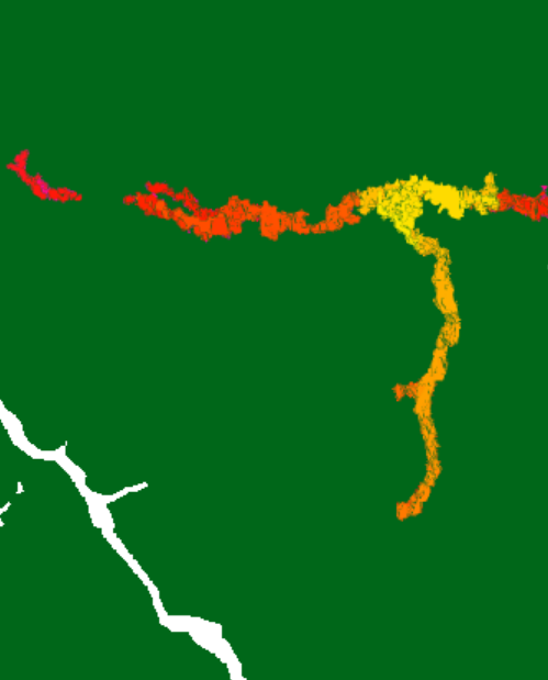
- Title
- Forest loss maps for 2016, 2017, 2018 and 2019 in French Guiana
- Description
- Forest loss map every week for 2016, 2017, 2018 and 2019 in French Guiana using Sentinel-1 data at 10m pixel size.
Citation: "Ballère, M., Bouvet, A., Mermoz, S., Koleck, T., Bedeau, C., Forestier, E., André, M., Le Toan, T., Frison, P.L., Lardeux, C. (2020). SAR data for tropical forest disturbance alerts in French Guiana: Benefit over optical imagery. Remote Sensing of Environment, 112159" - Organization
- CESBIO / CNES / WWF / GlobEO
- Projection
- EPSG:4326
- Extent
- -55.5, 2.0, -50.8, 5.8
Measures
Permalink
Scale